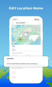


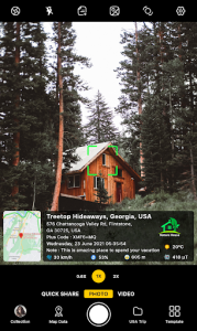
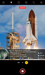


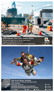
GPS Map Camera is a sophisticated mobile utility that seamlessly integrates real-time geolocation data directly into your photographs. By automatically embedding precise coordinates, altitude, and timestamps, this tool ensures that every captured memory carries its own geographical context. It serves as an essential companion for travelers, field surveyors, and outdoor enthusiasts who need to document locations with absolute accuracy.
Seamless Geotagging Technology
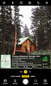
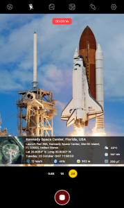
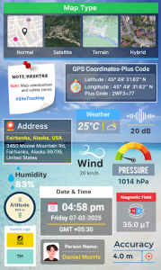
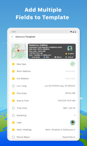
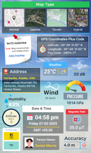
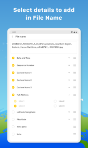
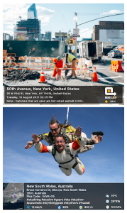
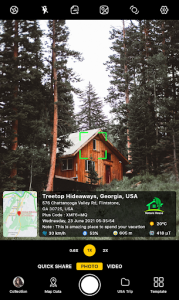
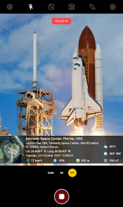
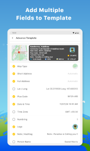
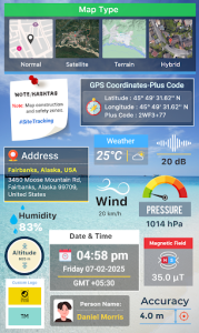
The core functionality of this utility revolves around its ability to overlay comprehensive metadata onto images without manual intervention. Users can customize the layout of the geographic information, choosing between various map styles, coordinates, and weather details that appear directly on the frame. This capability is particularly useful for professionals who must provide visual evidence of site visits or project progress in specific locations.
Enhanced Visual Documentation
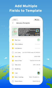
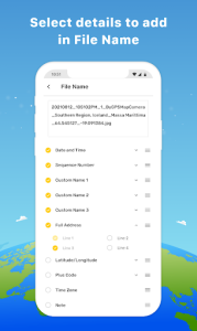
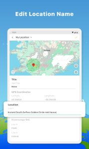
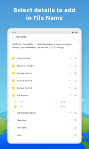
Beyond simple data embedding, the software offers a robust set of customization options to ensure that the information remains legible and aesthetically pleasing. You can adjust font styles, colors, and the positioning of data stamps to suit different lighting conditions or backgrounds. This level of flexibility makes GPS Map Camera a versatile choice for anyone looking to create professional-grade logs of their journeys or fieldwork.
Intuitive User Interface
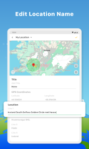
Navigating through the settings and capturing images feels fluid thanks to a clean, minimalist design that prioritizes ease of use. The interface allows for quick toggling between different data types, ensuring that you only display the information relevant to your current task. By removing unnecessary clutter, this solution enables you to focus entirely on the subject matter while the background processes handle the technical details of location tracking.
Reliable Offline Functionality
One of the most impressive aspects of this tool is its ability to maintain high levels of accuracy even when mobile data is limited or unavailable. By utilizing internal sensors and offline cached maps, the system continues to record precise location data during remote expeditions or hiking trips. This reliability ensures that your documentation remains consistent and trustworthy regardless of your connectivity status in challenging environments.